Active Transportation
Chicago has some interesting active transportation goals and projects: zero pedestrian deaths by 2050, creating more bike lanes (including protected ones), and generally upholding its new modal hierarchy: pedestrians first, then transit users, then cyclists, and then motorists. My work (some of which you may see below) reflects this forward thinking. You may also read more about my thoughts on active transportation on the Urban Planning page.
Big Marsh Access Action Plan
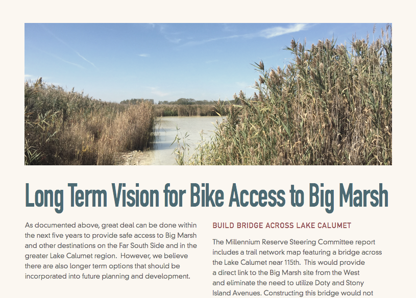 During my internship at the Active Transportation Alliance, I worked with Active Trans staff, Slow Roll Chicago, the Pullman Porter Museum, and the Chicago Department of Transportation (CDOT) to to develop bicycle access to a bicycle park on Chicago's south side. Big Marsh will be a world class bicycle park, but at the moment it is a former industrial site that is only accessed by streets frequented by semi-trucks and highways. This plan sets out to change who can access this park. Once bike routes are established, this park can be frequented by people in the surrounding neighborhoods and by transit users.
Lawrence and Harlem: Transit Friendly Areas
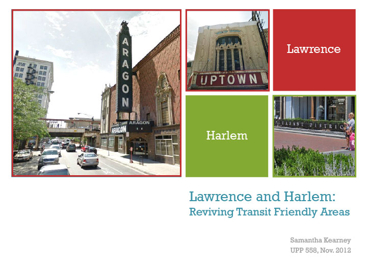 This presentation's purpose is to identify what the components of transit friendly areas are and then suggest how they can be applied in other contexts. The areas I selected have characteristics of Transit Oritented Developments (TODs), but developed gradually over time.
This presentation preceeded - yet resembles - the Chicago Department of Transportation (CDOT) North Broadway Plan, part of which is in my study area. In fact, my presentation was shown by David Leopold, one of my UIC professors, to the CDOT planners he collaborated with on the North Broadway Plan.
Chicago Avenue: A Blueprint for Complete Success
 Public transit, bioswales, pedestrian amenities, motorists, and bikes are all considered in this proposal for making Chicago Avenue a "complete street" between Damen and Milwaukee.
Due to the street's dimensions and the Average Daily Traffic (ADT), Chicago Avenue qualifies for a road diet; however the space gained from removing one lane of traffic in each direction is not enough to create bus lanes, bike lanes, and wider sidewalks without also removing street parking. Read more to learn which features were prioritized.
This group project was a collaborative effort with Brendan Dodge and Martin Menninger. My contributions included the oval GIS maps, street section diagrams, final plan diagram, document layout, and writing the following sections: related plans, pedestrians, economic development, greenspace & environment, stakeholders, and alternative considerations.