Historic Preservation
Preservation motivates much of my work. It has the potential to revitalize communities, empower current residents & businesses, and encourage sustainable lifestyles & economies. The merits of historic preservation (and other planning themes) can be read about on the Urban Planning page.
This page contains examples of my coursework that involve preservation.
All Landmarks and Historic Districts in Chicago,
and the Landmarking Process
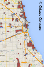 This interactive map shows all of Chicago's locally listed and nationally listed landmarks and historic districts, from 1970 to mid-2012, because the data hasn't been updated for a few years. Having all this information in one place, even if it is a little outdated is helpful because it is important to change people's conception of what landmarks are and where they are.
Landmarks can commemorate working class housing, labor struggles, lakefronts, as well as opulent buildings. Showing that landmarks are present across the city can be eye opening; Chicago has worthy places all over. Another important element of this map is that it demonstrates the complexity of landmark statuses. One can be locally or nationally listed, or in a district or as an individual building, or even have multiple designations. Also, to my knowledge no other interactive map comprehensively combines this data, making this a unique resource.
The Chicago Cityscape newsletter containing this map is a landmark designation 101, in that it describes types of landmarks, the criteria, the incentives and restrictions, the landmarking process, and much more.
Black History Developments
 Details about the renovation of the historic Rosenwald Court Apartments were included in a Chicago Cityscape newsletter about sites relating to Black history for Black History Month. The Rosenwald's 421 units were built in 1929 to house people who had arrived in Chicago during The Great Migration. It operated until 2000. Now it is being renovated by a significant task force of developers, funding specialists, preservationists, community outreach consultants, architects, contractors, and more using a coctail of funding sources. Eventually the newly renovated 200+ affordable units and retail/office space will be managed by Mercy Housing.
This newsletter also explains the uncertain status of blues ledgand Muddy Waters' long-vacant house and the painfully delayed renovation of the Carter G. Woodson Library, which is named for the father of Black historiography, and houses the midwest's largest collection of Black literature.
Chicago's Wooden Water Towers
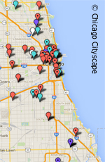 Writen for a Chicago Cityscape newsletter, this study mapped out all of the wooden water towers that were issued permits from February 2007 to August 2015 (the time of writing). Projects include demolition, renovation, painting signs, and installing telecommunications devices. Information in the permits includes the estimated cost of each project, date, and more.
This newsletter also discussed the decision by the Commission on Chicago Landmarks to not review water tower projects, and the community effort to replace a beloved but extremely damaged water tower.
Age Friendly Berwyn
 The goal of this plan is to identify ways that Berwyn, IL can be made more hospitable for senior citizens. One of the ways this is accomplished is through improving the dominant form of housing: bungalows. By doing so, people will be able to safely age in place (the most popular lifestyle chosen by seniors) instead of moving to retirement homes (though these are also covered in the plan). The reason for this is that the rooms in bungalows are primarily on a single floor, and if ramps, tripping hazards, ample lighting, and energy efficient methods are used, then these houses will be very age friendly, while also increasing their affordability - which is important to a demographic with limited incomes.
Other methods are also explored, including complete streets and social services. The entire plan is evaluated using the WHO's Checklist of Essential Features of Age Friendly Cities.
Affordable Housing in Historic Districts: Pilsen
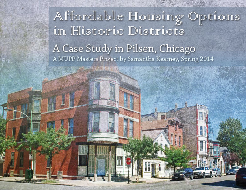 This project examines ways that affordable housing can be encouraged in historic districts, using Chicago's Pilsen neighborhood as a case study. This project illustrates how one may use various incentives to renovate an apartment building, and also a proposal for a Workers Cottage Initiative, which would be similar to the Chicago Historic Bungalow Association and the Greystone Initiative. This report contains:
- GIS maps of the distribution of affordable housing in Chicago
- GIS maps of Chicago's local & national historic districts and significant properties
- a community assessment of Pilsen
- a chart of incentives showing benefits, eligibility, and project requirements
Frank Lloyd Wright Walking Tour
This was a component of a larger project about opensource mapping technology. I made this map using Google's Fusion Tables from a list of addresses of Frank Lloyd Wright buildings which I had geocoded in ArcMap.
The letters represent the suggested order to visit these buildings on a walking tour, and when each pin is clicked more information, including a streetview, appears. You may also interact with this map as you would with a regular Google map: zoom, pan, and you can also drop the little orange person to get to an interactive streeview.
While the symbology of these types of maps are limited, their potential for public use is great. I've already shared this map with people visiting from out-of-town who expressed interest in seeing Oak Park's famous architecture, but didn't have a guide.
Lathrop Homes Memo
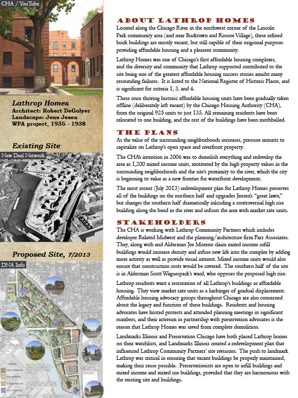 Farr Associates and Related Midwest are working on a redevelopment of Lathrop Homes -- a historically successful series of buildings containing affordable and public housing that have been recently mismanaged by the Chicago Housing Authority (CHA) . It is a controversial project: the residents, neighbors, developers, architects, CHA, and preservationists (to name a few) all have strong opinions about what must be done to make this site a success in the future. This memo summarizes the situation, plan, and positions of stakeholders.